

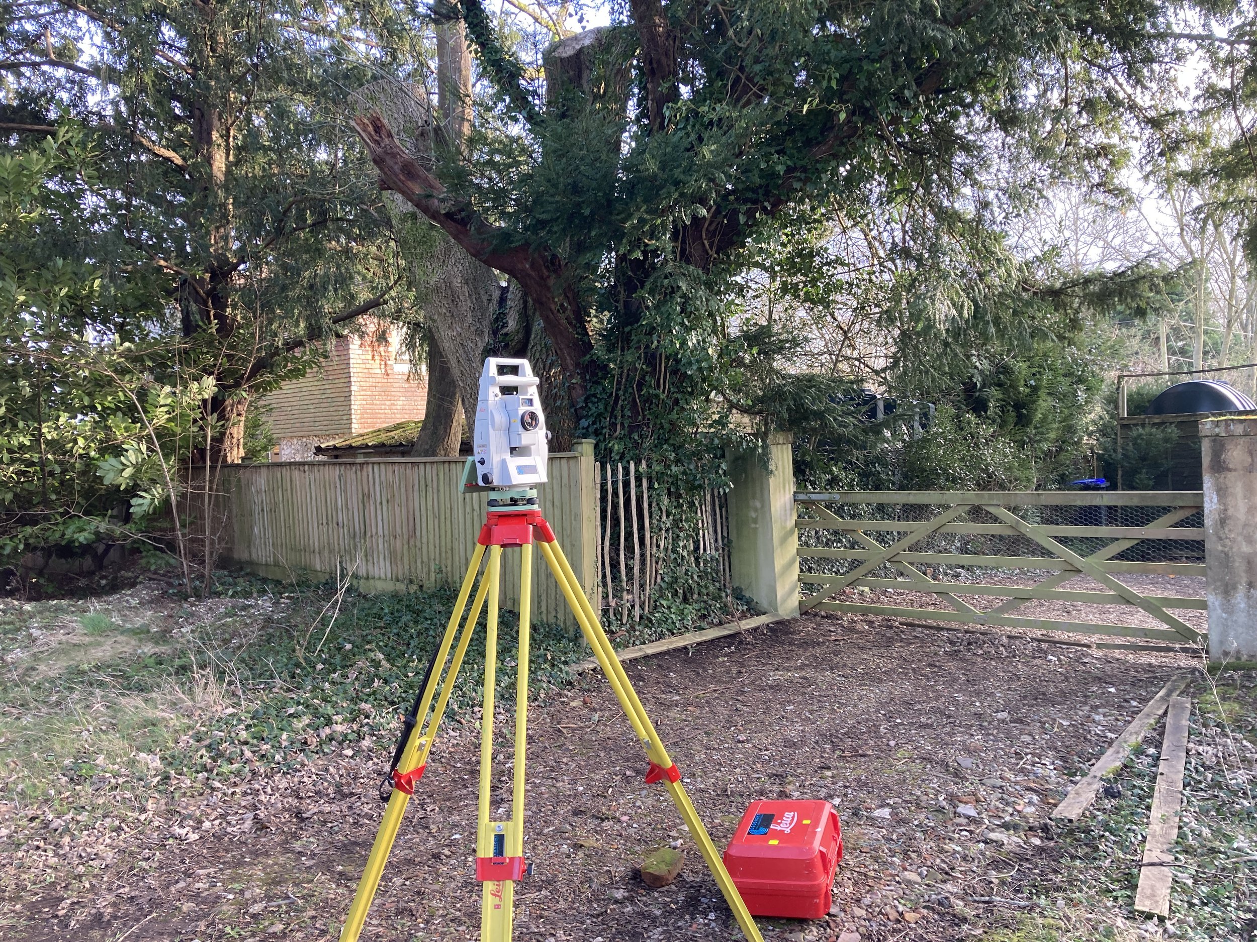
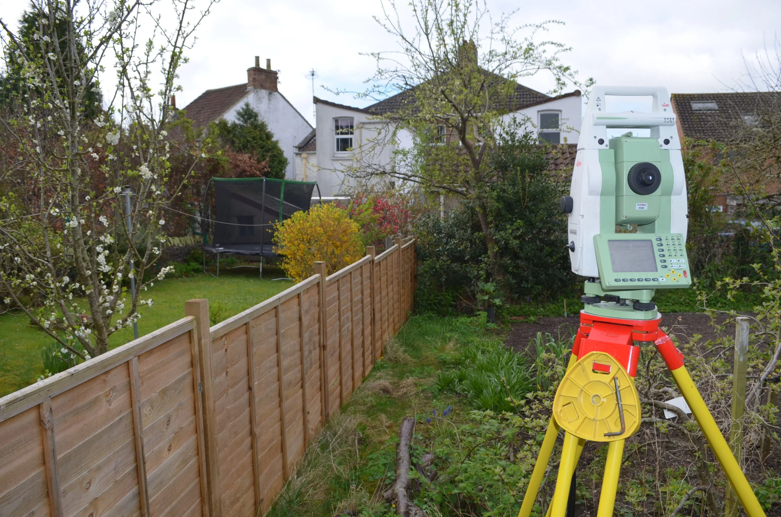
Land Survey & Mapping Services
Let us accurately map your land parcel to support your development or management of your land assets
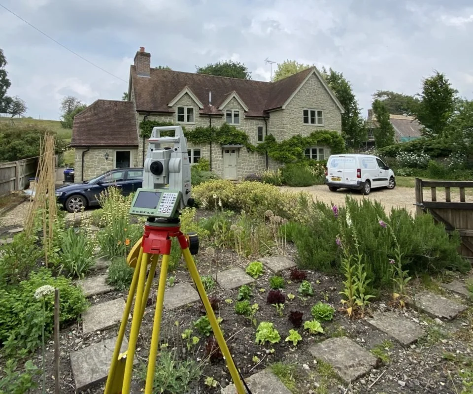
Let us generate accurate plans for your building to support your development or management of your building assets
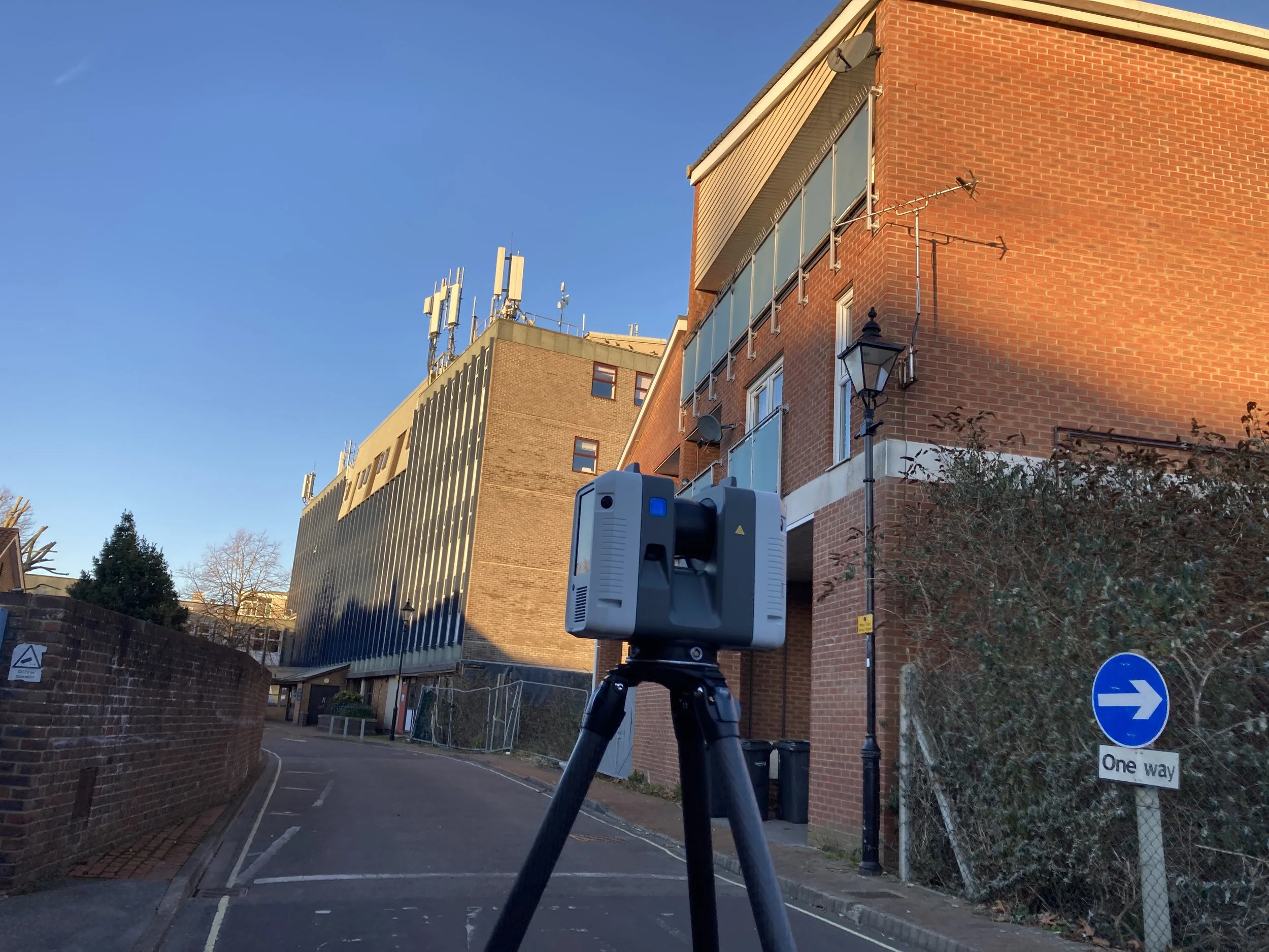
Let us accurately map the physical features demarcating your plot and provide professional opinion on the legal boundary line. We also support with CPR reporting.