Topographic Surveys
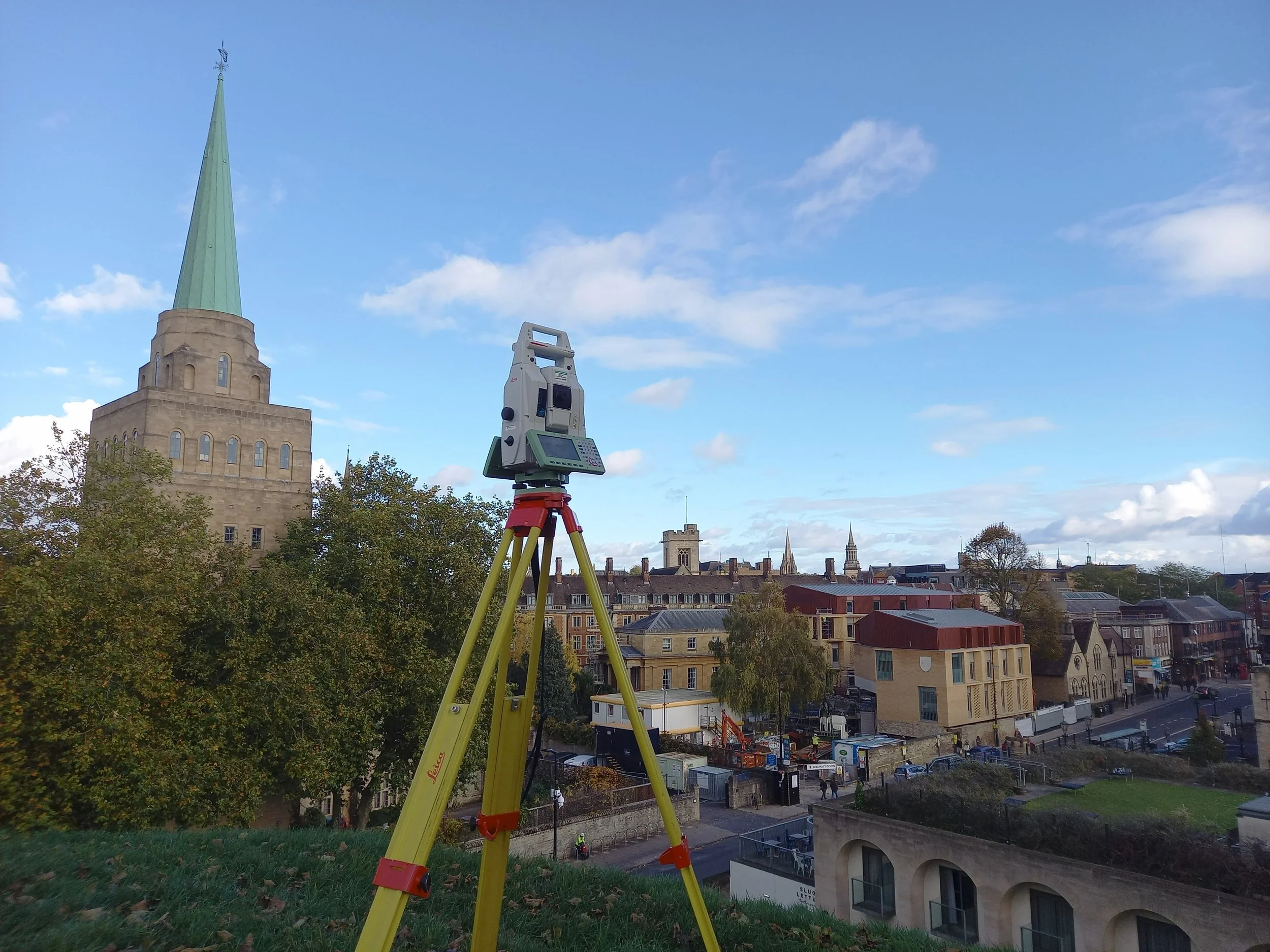
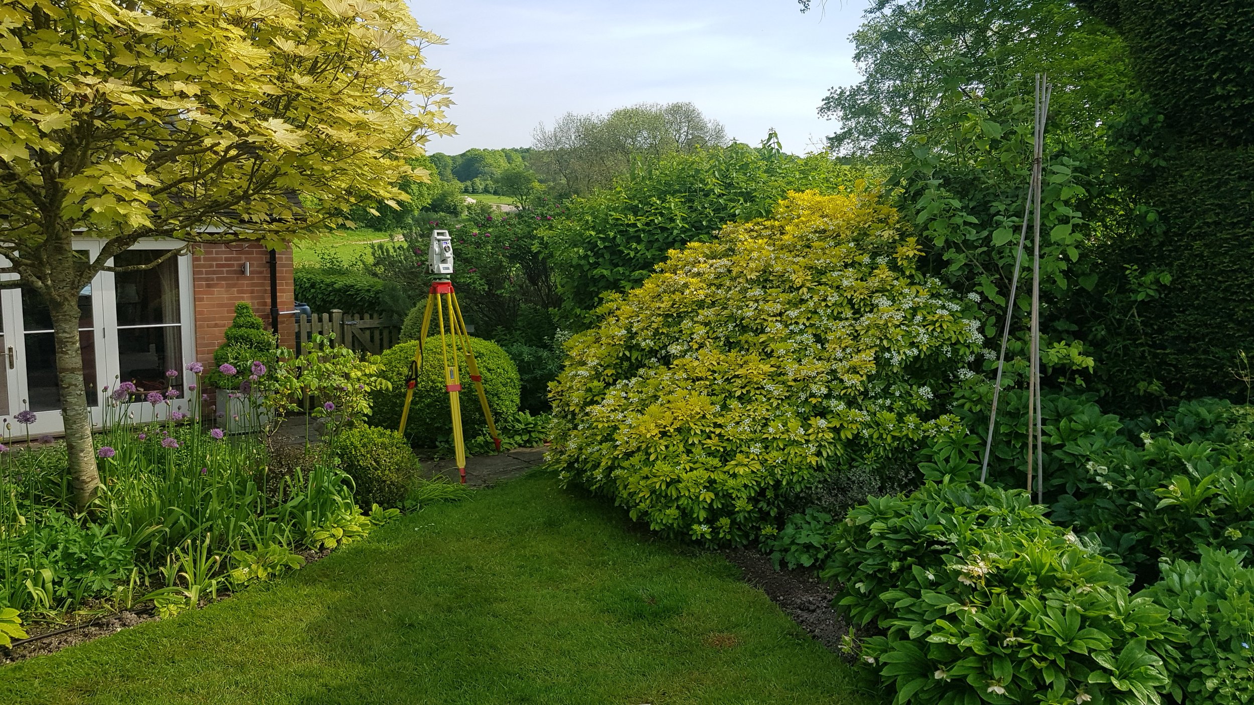
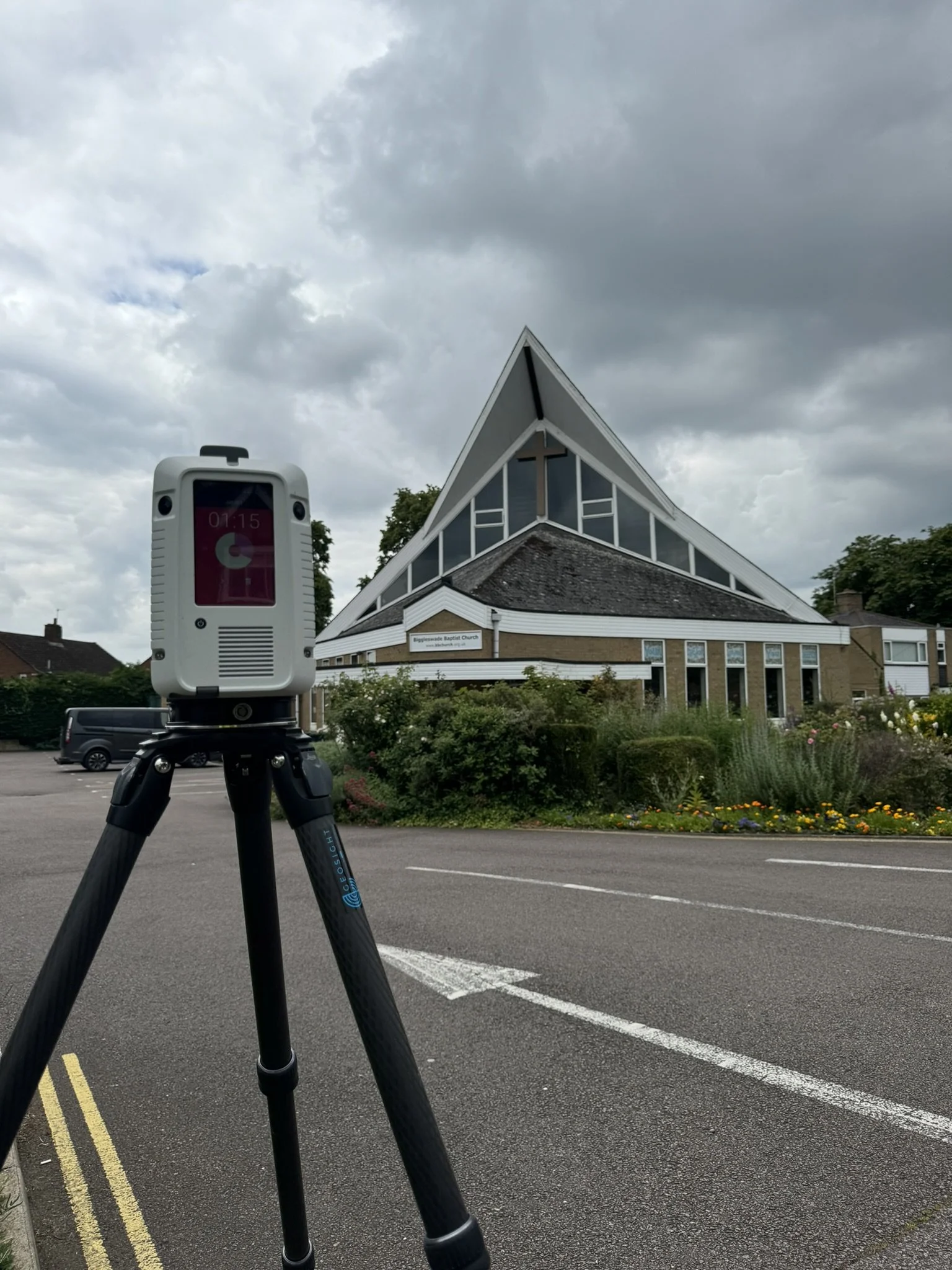
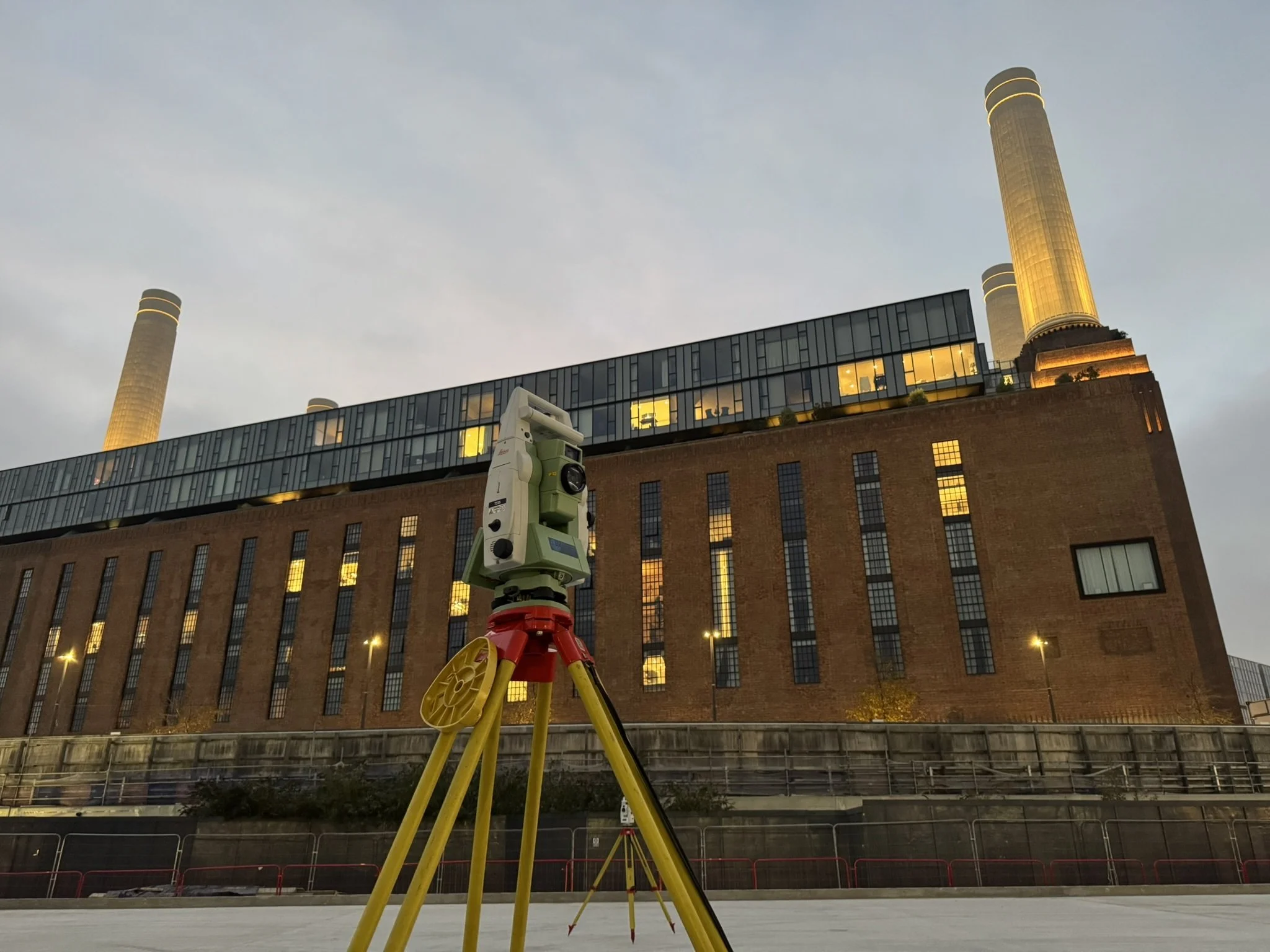
GEOsoloutions are experts in conducting topographic surveys. Utilising direct measurements from a Total Station, Laser Scanner or GNSS, GEOsolutions will provide an accurate and detailed topographical survey of your site up to all visible boundaries.
Topographic Surveys are fundamental to accurately map a site’s terrain, boundaries, and natural or man-made features before construction, renovation, or land development.
GEOsolutions conduct topographic surveys on residential and commercial projects, holding regulation by the Royal Institution of Chartered Surveyors (RICS).
GEOsolutions also have significant expertise working in civil engineering environments, providing setting out, land formation and structural surveying
Should you require our services, please get in contact on the displayed form and one of our team will be in touch to assist.