

Marine Geospatial Services
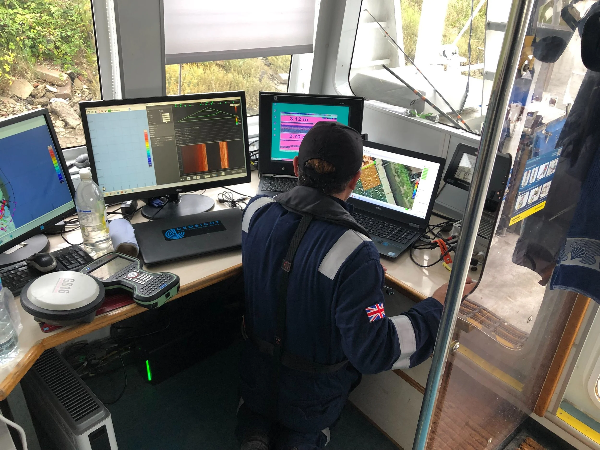
Offshore Survey Support
Our team delivers comprehensive support for all stages of your survey project - from mobilisation and personnel provision to processing, analysis and final reporting.
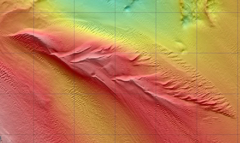
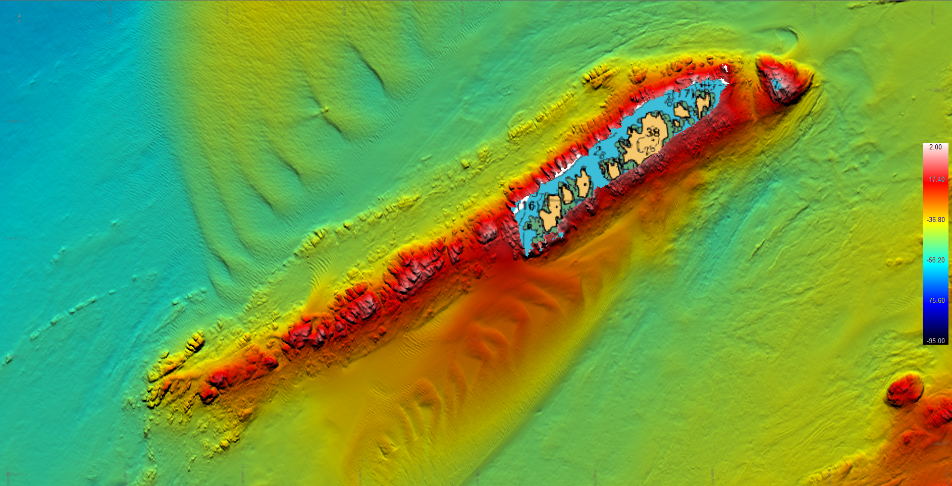
Hydrographic & Geophysical Surveys
We focus on delivering high quality geophysical data to allow for confident decision making. By combining expert acquisition with precise processing, we provide robust, repeatable results tailored to your project requirements.
Construction Support & Positioning
We provide precise surface and sub-surface positioning to keep your project moving and maximise every workable weather window.