

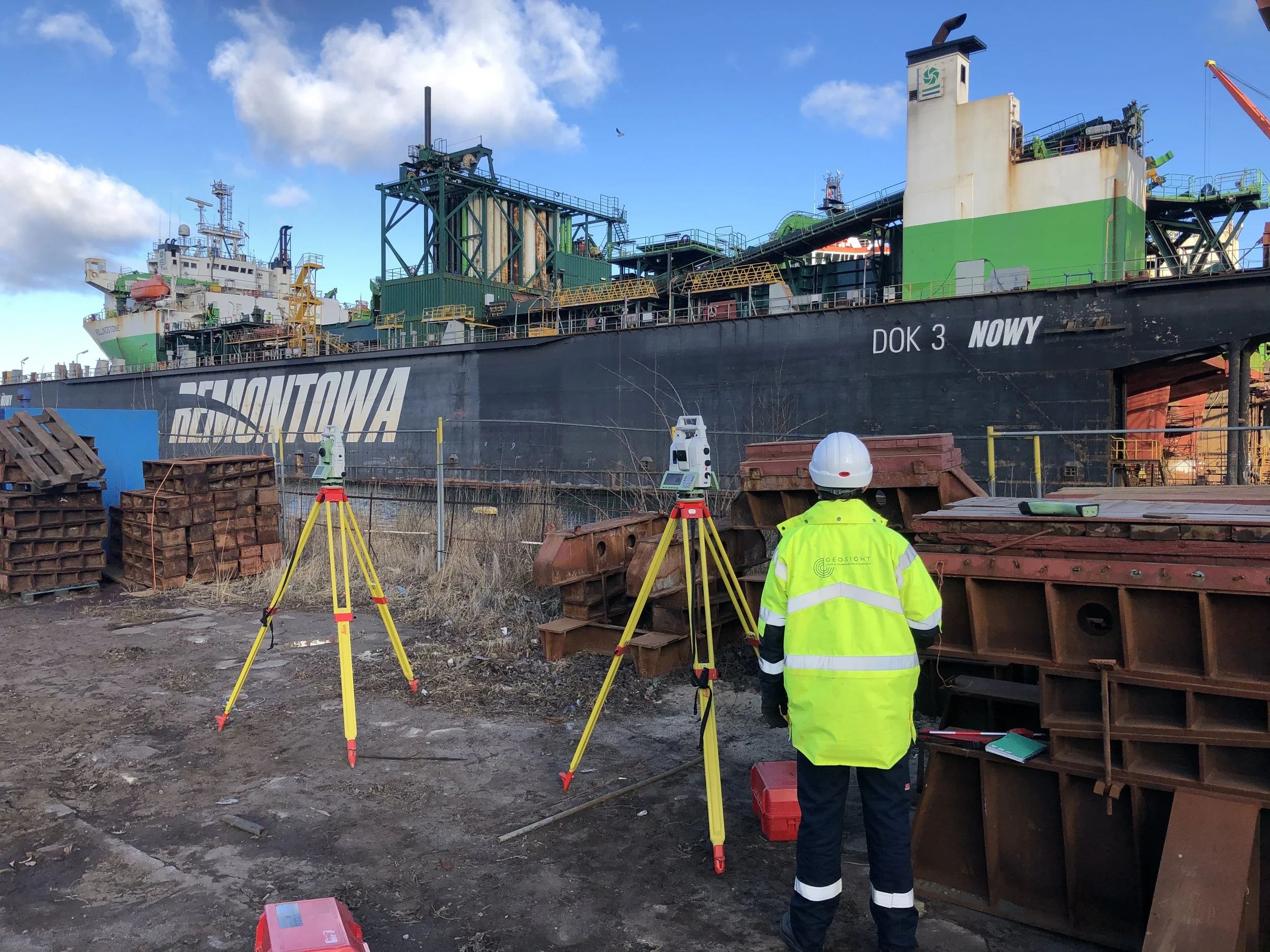
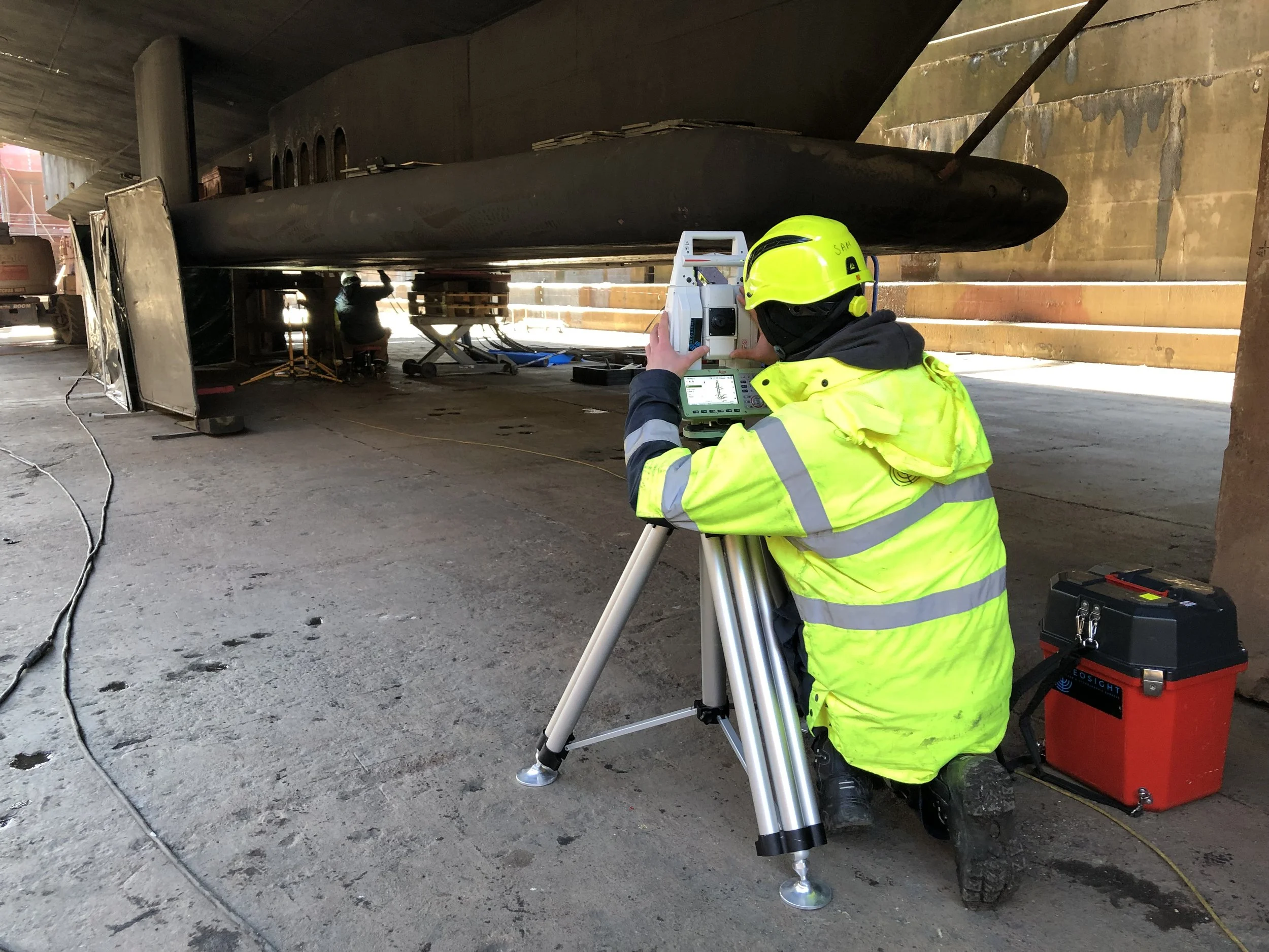
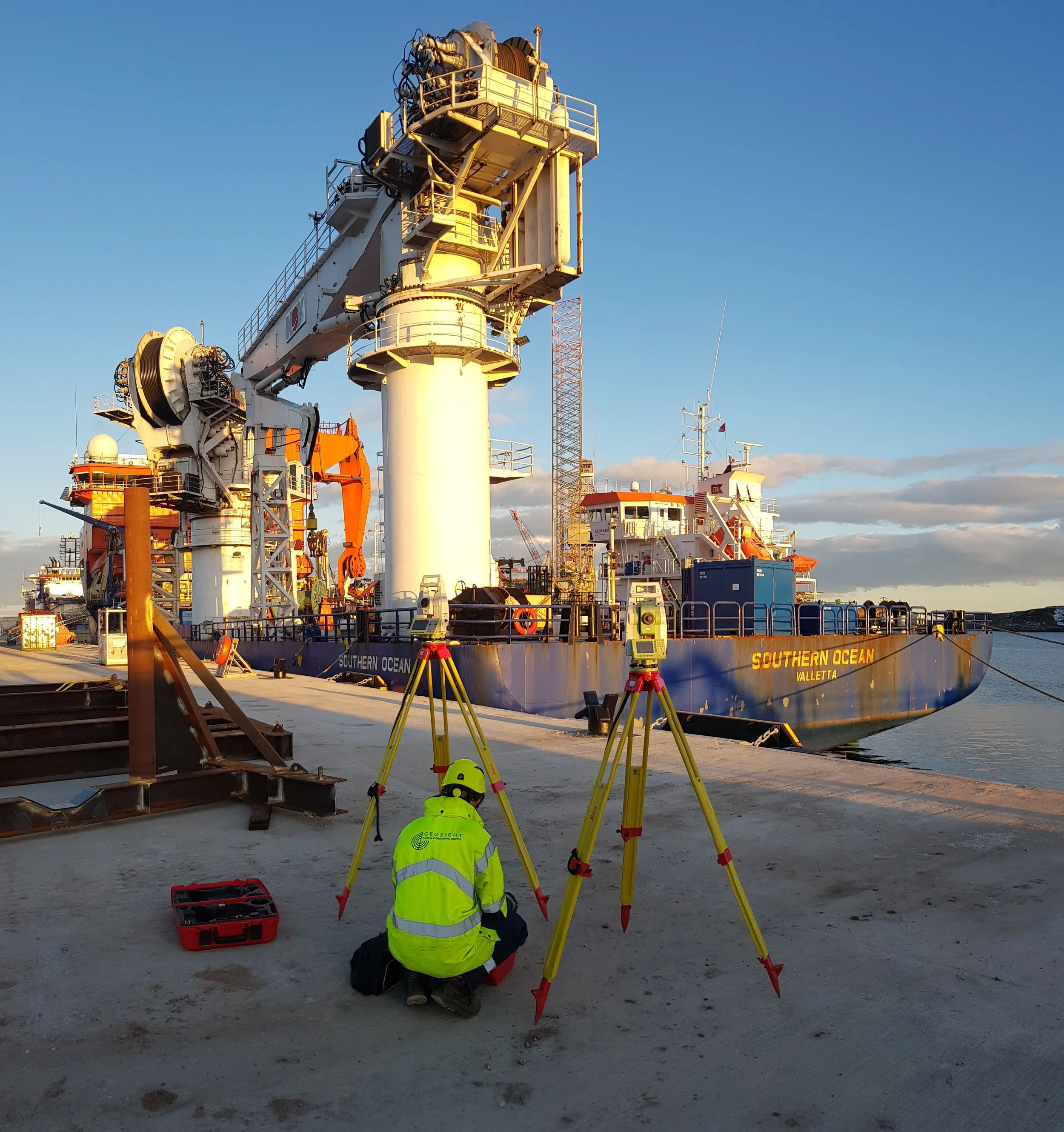
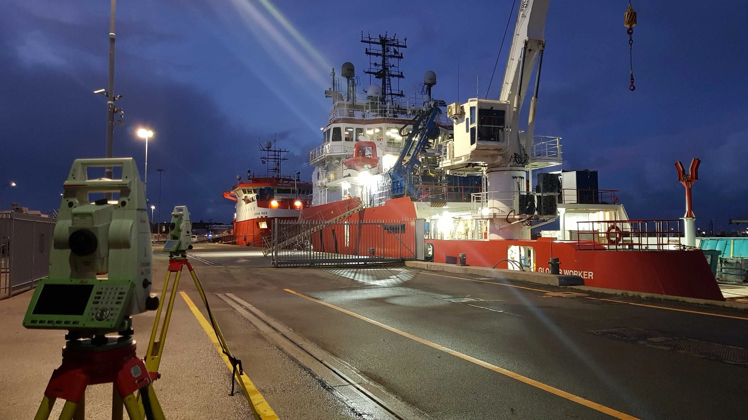
Vessel Dimensional Control Survey

Calculating structural offsets and alignment onboard offshore vessels or subsea assets.
Providing Heading and Attitude sensor calibrations & verifications to ensure your precision survey setup is performing optimally.
Giving confidence to your setup, by providing antennae & node position checks. Ensuring your vessel is survey ready.
Utilising direct measurements from Total Station, Laser Scanning methods, and GNSS observations, GEOsolutions are specialists in the capture of precise and accurate dimension control data for marine survey and construction support vessels.
Vessel Dimensional Control Surveys provide definition of a user defined vessel reference frame (VRF) within the 6 degrees of freedom and within which all survey sensors are coordinated. The vessel dimension control will allow survey sensors to operate within their specified tolerances, which will in turn provide accuracy and confidence in subsea data sets.